HomeSolutions
MARMOL INTEGRATED

Industrial Asset Sensing

Industrial Sensing. Asset Clarity.

Explore this page
SolutionsMARMOL
FIELD INTELLIGENCE. ASSET CONFIDENCE.

Industrial Inspection. Engineering Perspective.

Inspection creates value when the evidence addresses a defined asset-integrity question. Marmol’s documented fieldwork spans photovoltaic infrared testing, transmission-line inspection and industrial flare-tip inspection. We align acquisition with asset geometry, operating context and safe access, establishing a reporting scope the appointed engineering team can review and act upon.

Engineer the inspection boundary

Define the component, asset references and required views before deployment. Review drawings, operating constraints and capture conditions with the project team. Coverage gaps and follow-up requirements remain visible in the record, so the scope of an inspection is understood alongside its findings.
From observation to accountable review

A traceable observation links the asset, location, capture date and acquisition conditions. Marmol frames the handover around those references and the review task. Reports distinguish observed features from diagnoses requiring further testing. Electrical, material, internal and statutory assessments are commissioned as separate technical responsibilities.

Define the asset, the engineering priority and the decision ahead. Marmol connects field knowledge with a clear technical scope, accountable review and an evidence-led handover.

Define your project brief
MARMOL / Company media

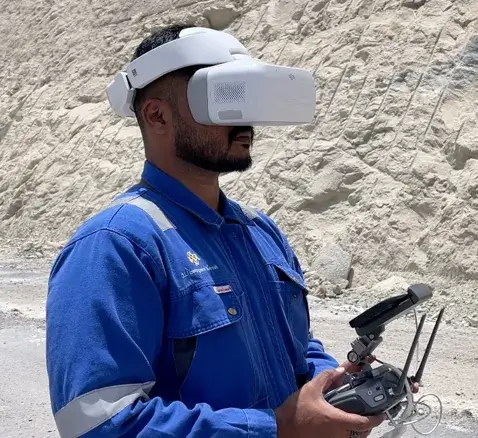
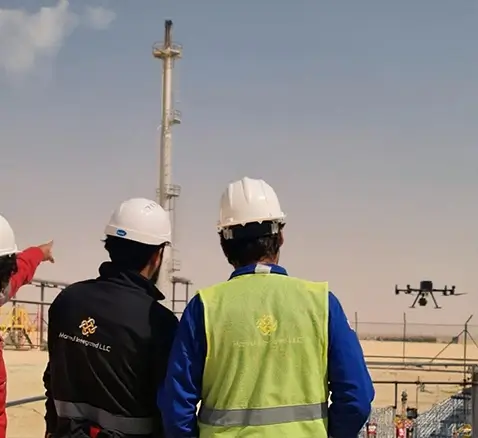
The team in the field.

Original company content & media
01Overview

Industrial Sensing for Asset Integrity Decisions

Marmol connects industrial UAV sensing, geospatial survey and inspection evidence with the priorities of critical-asset owners. Field methods are selected around the asset, access and review question. The project scope defines coverage, information outputs and technical responsibilities, giving the receiving team an evidence-led basis for further investigation and maintenance planning.

Industrial Sensing for Asset Integrity Decisions
02Industrial UAV sensing

Engineering Capabilities

Industrial UAV Inspection

Industrial UAV acquisition provides a field perspective on defined asset elements. Visual and thermal methods are planned around geometry, safe access and capture conditions. Findings retain their location and context, with diagnosis, testing and engineering approval assigned through the agreed review scope.

01

Energy and Utilities

Energy assets: define the modules, structures or corridor elements included in the inspection.

Capture scope: agree visual or thermal coverage, operating constraints and required references.

Technical review: distinguish observations from confirmed faults and specify follow-up responsibilities.

02

Oil & Gas

Industrial assets: connect inspection evidence with the specified flare stack, facility element, tank or pipeline.

Operational context: agree access, permitted views and host-facility requirements before acquisition.

Scope boundary: internal integrity, wall thickness and fitness-for-service require separately commissioned assessments.

03

Infrastructure

Infrastructure assets: locate observations within the bridge, tunnel, facade or roof element under review.

Information purpose: define the views and spatial records required by the appointed team.

Review responsibility: structural diagnosis, testing and compliance decisions require the corresponding technical scope.

04

Environmental and Geotechnical Monitoring

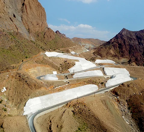
Geospatial observations connect slopes, terrain and environmental features with their acquisition dates and coverage. Any change assessment requires comparable sources and a defined analytical method. Live risk monitoring and regulatory determinations are separate scopes requiring confirmation.

05

Geomechanical Survey and Mapping

Geomechanical survey and mapping connect geological features with the site’s engineering question. Spatial references, field observations and interpretive assumptions provide the basis for the investigations and design review agreed for the project.

03Digitalization

Digitalization Services

Asset digitalization: organize captured evidence around agreed asset identifiers and locations.

Information management: retain source, date, coverage and record ownership in the handover.

Analytical applications: define validation, integration and review responsibilities before monitoring or predictive outputs are commissioned.

Digitalization Services
04Smart infrastructure

Smart Infrastructure Solutions

Transport corridors: connect survey observations and inspection records with the infrastructure element under review.

Asset planning: identify the evidence required for a maintenance, modification or investment decision.

Analytical scope: automated interpretation and operational connections require confirmed inputs, validation and delivery ownership.

Smart Infrastructure Solutions
05Satellite monitoring

Satellite Monitoring and Analytics

Satellite observation adds wider-area spatial context where suitable data is available. Source dates, resolution, coverage and comparison methods determine its engineering use. Monitoring frequency, environmental interpretation and additional analytical applications are agreed separately.

Satellite Monitoring and Analytics
06Augmented reality

Augmented Reality (AR) Solutions

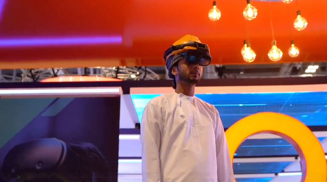
Remote and augmented-reality assistance are considered around a defined inspection, maintenance or learning task. Required information, compatible equipment, connectivity and permissions are specified before implementation. Delivery capability and review responsibilities are confirmed for the proposed application.

Augmented Reality (AR) Solutions
07Infrastructure Digitalization

Infrastructure Digitalization

Infrastructure digitalization: establish a spatial and documentary record for the agreed road, bridge, tunnel or urban asset.

Decision support: connect measured conditions with inspection context and available drawings.

Operational integration: specify connected-data sources, permissions and update ownership independently from the geometric model.

Infrastructure Digitalization
08Industries

Critical Asset Contexts

01

Energy and Utilities

Advanced monitoring for renewable energy, powerlines, and wind turbines.

02

Oil and Petroleum

Comprehensive inspection solutions for pipelines, rigs, and storage facilities.

03

Infrastructure

Smart digital solutions for roads, bridges, and urban structures.

04

Renewables

Optimized performance and monitoring for solar and wind farms.

05

Agriculture

Precision farming with satellite and Industrial UAV data for increased productivity.

06

Mining

Detailed surveys for resource estimation, stockpile measurements, and site planning.

09Why Marmol

Field Expertise. Technical Integrity.

Engineering purpose: begin with the asset and decision.

Field experience: select acquisition around site geometry and operating conditions.

Traceable evidence: retain references, source dates and limitations.

Scope governance: agree outputs, acceptance and technical-review ownership.

Environmental context: consider resources and access alongside the engineering requirements.

Field Expertise. Technical Integrity.
Discuss the engineering scope

Contact us today to learn how Marmol Integrated can transform your operations.

Together, let’s build a smarter, safer, and more sustainable future.

Discuss the scope