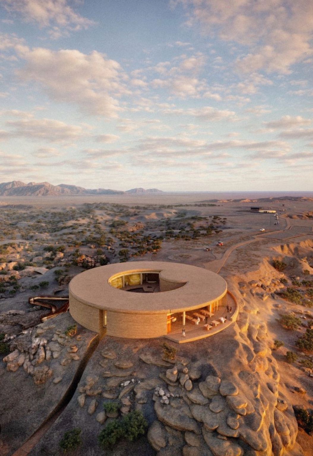
Geospatial evidence and structured asset records for planning, inspection and lifecycle decisions.
Frame the engineering decision before defining the capture. Marmol connects site understanding, documentation requirements and technical review within an agreed information scope.
Reality Capture establishes an information foundation for capital projects, modifications and asset handover. Define the engineering use before selecting the acquisition method: site boundaries, spatial references, required coverage and review criteria. Marmol’s survey experience supports this field perspective. Laser scanning, as-built documentation and operational twins each require a confirmed delivery scope.
Start with coverage and acceptance
A credible survey begins with control of the capture boundary. Prioritize the assets and interfaces that matter, review access and occlusions, and establish dimensional requirements against the intended decision. Record concealed or inaccessible areas explicitly, keeping measured geometry distinct from assumptions introduced during modelling.
Trace the evidence through the model
Survey files, point clouds, drawings and models serve different engineering purposes. Specify the format, coverage, level of detail and review criteria for each deliverable. Modelled elements retain their derivation and assumptions. A continuously updated operational twin also requires defined information connections, permissions and update responsibility.
Define the asset, the engineering priority and the decision ahead. Marmol connects field knowledge with a clear technical scope, accountable review and an evidence-led handover.
A reliable information handover starts with defined outputs. Agree formats, coverage, dimensional requirements and verification responsibilities before field acquisition.
3D Laser Scanning
Establish existing-condition geometry around a defined engineering use and survey boundary.
Potential deliverables
Registered point cloud, capture coverage and survey reference information.
As-Built Documentation & Modelling
Translate surveyed conditions into specified drawings and models for technical review.
Potential deliverables
Agreed 2D drawings and 3D models, with modelling detail and exclusions defined.
Digital Asset Documentation
Connect records with agreed asset identities, locations and information ownership.
Potential deliverables
Asset register and linked imagery, drawings and documents within the agreed scope.
Digital Twin Enablement
Define the model, evidence and information structure needed for a twin use case.
Potential deliverables
Model and data handover with agreed identifiers, formats and integration requirements.
From field data to decisions
Define the Decision Before the Survey.
01
Define
Agree the site boundary, access, intended use and acceptance criteria.
02
Capture
Plan field capture around site safety, coverage and survey control.
03
Validate
Review registration, coverage and dimensional checks against the agreed criteria.
04
Model
Develop the specified drawings, models and asset information.
05
Handover
Deliver the agreed files, review notes and information structure.
Scope clarity
A model is the beginning.
A 3D model records geometry. A connected asset model links agreed records. Live operational data requires a separately specified integration. These are different scopes, with different acceptance criteria.
Plan your brief
Site location, extent and access constraints
Purpose of the survey and priority assets
Required accuracy and independent verification
Drawing and modelling requirements
File formats, asset identifiers and integration needs
Delivery dates and site safety requirements
Related geospatial work
Wadi Dawkah: connecting natural heritage with site intelligence
Explore the published Wadi Dawkah update for related geospatial experience. It is not presented as a laser-scanning or operational digital-twin case study.